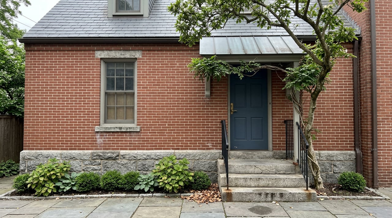
Somewhere along Route 924, a buyer touring two nearly identical brick colonials two miles apart will notice the same thing on the tax record: one has an extra line item labeled "Town of Bel Air," the other doesn't. The easy read is that crossing into town limits costs more, full stop. That's the assumption most people carry into a Bel Air comparison, and it's only half the story.
The Town of Bel Air currently sets its own municipal property tax rate at $0.54 per $100 of assessed value, a rate the Board of Town Commissioners reviews and adopts every year as part of the budget process. That charge shows up only on parcels inside the corporate limits. What doesn't show up as clearly, because no calculator or listing sheet itemizes it, is what those in-town parcels are excused from paying on the county side.
The Trade Buried in the Charter
Harford County's own code lays out how the county fixes its tax rate each year, and it specifically carves out certain expenses from what incorporated-town properties are charged for. Among the "listed activities" the county funds through a rate applied only outside incorporated towns: maintenance, care, repair and construction of roads and bridges outside the boundaries of the incorporated towns, plus the associated highway safety and traffic patrol costs.
The Town of Bel Air's own charter states the flip side of that arrangement plainly: property inside the corporate limits is exempt from county taxation for public road and bridge purposes. In practice, the town takes over that job and pays for it through its own public works budget, funded in part by that $0.54 rate.
So the in-town tax line isn't simply added on top of an identical county bill. It's substituting for a county service charge that in-town residents don't owe in the first place. Neither the town nor the county publishes a dollar figure for exactly how much of the county's general rate that road and bridge carve-out represents, so a buyer can't fully back the number out from the paperwork. But the legal principle is unambiguous: nobody in Bel Air is paying twice for the same stretch of asphalt.
What Each Side of the Line Is Actually Buying
| Inside Bel Air Town Limits | Unincorporated Harford County | |
|---|---|---|
| County general property tax | Applies, minus the road/bridge carve-out | Applies in full |
| Town municipal tax ($0.54/$100) | Applies | Does not apply |
| Who maintains local streets | Town of Bel Air Department of Public Works | Harford County Department of Public Works |
| Who funds that maintenance | Town budget, via town tax | County budget, via county tax |
The takeaway for a buyer stacking two listings side by side isn't "in-town is more expensive" or "out-of-town is cheaper." It's that both parcels are paying for the same category of service, road upkeep, snow response, streetlighting, through two different governments and two different rate structures. Comparing the sticker on the tax bill without accounting for which government is doing the paving misreads the trade.
Where the Town Tax Actually Goes
Property tax is the largest single funding source for the town, accounting for 54.6% of general fund revenue, followed by state shared taxes at 17.8%, according to figures the Finance Director presented at the Bel Air Board of Commissioners' April 2026 budget work session. That's not an abstraction. At the same meeting, Bel Air Downtown Alliance Executive Director Jenny Erhard reported that Main Street currently supports 22 eateries, 34 shops and supply stores, 8 bars and breweries, 166 service providers, 1 grocery, 1 gallery, 25 pieces of public art, one business incubator space, one co-working space and one financial institution.
That density of walkable commercial activity, plus the town-run Armory community and event space, is the visible return on the municipal tax line. It's a different value proposition than "the county maintains your road a little further from downtown." Whether that's worth $0.54 per $100 of assessed value to a given household is a personal calculation, not a universal one. But it's the actual comparison, not a generic "town living costs more" framing.
The Line Itself Isn't Fixed
Buyers treating the town boundary as a permanent feature of the map are working off outdated assumptions. Bel Air has annexed land multiple times in the past decade, and both examples on record involve exactly the corridor where new residential and mixed-use construction keeps landing.
The town accepted a petition in October 2022 to annex a 2.67-acre parcel on Tollgate Road from 304, 308 and 310 Tollgate Road LLC and KRG Bel Air Square, LLC, a process the Planning Commission and Board of Commissioners carried through a 2023 public hearing, ultimately zoned B3 general business. In 2020, a proposed annexation of roughly 1.5 acres near the Liriodendron Mansion drew more than 50 residents to a Planning Commission meeting, most of them opposed, over concerns about how many homes a developer could eventually place on the parcel.
That tension is still live. At the same April 2026 budget session where the Downtown Alliance reported its Main Street numbers, the town's Planning Commission and Board of Commissioners were also working through a Development Rights and Responsibilities Agreement ordinance, with testimony from Harford Mall developers in support, tied to the town's stated strategic goal of allowing shopping centers along the Route 24 and US 1 corridor to convert to mixed-use development. Annexation of occupied residential land requires owner consent under Maryland's Local Government Article, so a homeowner's parcel doesn't flip status without them asking for it. But the corridor around it can and does move, which changes what's adjacent to a given property over time.
What This Means When You're Comparing Two Listings
Before assuming a parcel's tax status based on its street name or ZIP code, check the property identification number itself. Every parcel inside Bel Air's corporate limits carries a "03-" prefix in Harford County's property ID system, the same district code the town uses for its own billing. That's a faster and more reliable check than guessing from a map, especially near the boundary where the line doesn't always follow an obvious road or landmark.
It's also worth remembering that both the town rate and the county's overall rate are set annually. The Town of Bel Air adopted its Fiscal Year 2027 final budget through Resolution 1271-26 this spring, and Harford County sets its own combined rate through a separate annual council resolution. Neither number is locked in for the life of a mortgage. A rate comparison done today is a snapshot, not a permanent fact about a parcel.
A Few Direct Answers
Does an in-town Bel Air address always mean a higher total tax bill than a similar home just outside the line? Not automatically. The town rate is a real added charge, but it corresponds to a county charge the in-town property doesn't owe. The net difference depends on how the county's blended rate breaks down between road maintenance and everything else, a figure the county doesn't publish as a standalone line.
How do I confirm whether a specific address is inside town limits? Look at the property identification number. Parcels inside Bel Air carry a "03-" district prefix under Harford County's system, which the Town of Bel Air also uses for its own tax billing.
Could my property end up annexed into or out of the town after I buy? Annexation of a residential parcel already occupied by an owner generally requires that owner's petition under Maryland law, so it isn't something imposed without consent. Nearby commercial corridors, particularly along Route 24 and US 1, have seen active annexation and rezoning discussion in recent years, which can change what's built around a property even if the parcel itself doesn't move.
Tax mechanics like this rarely show up on a listing sheet, but they shape what a monthly payment actually looks like once escrow is calculated. If you're comparing homes on either side of Bel Air's town line and want the specific numbers run for a property you're watching, Homestead Finders can walk through the actual parcel data with you before you write an offer.